Extended South-West


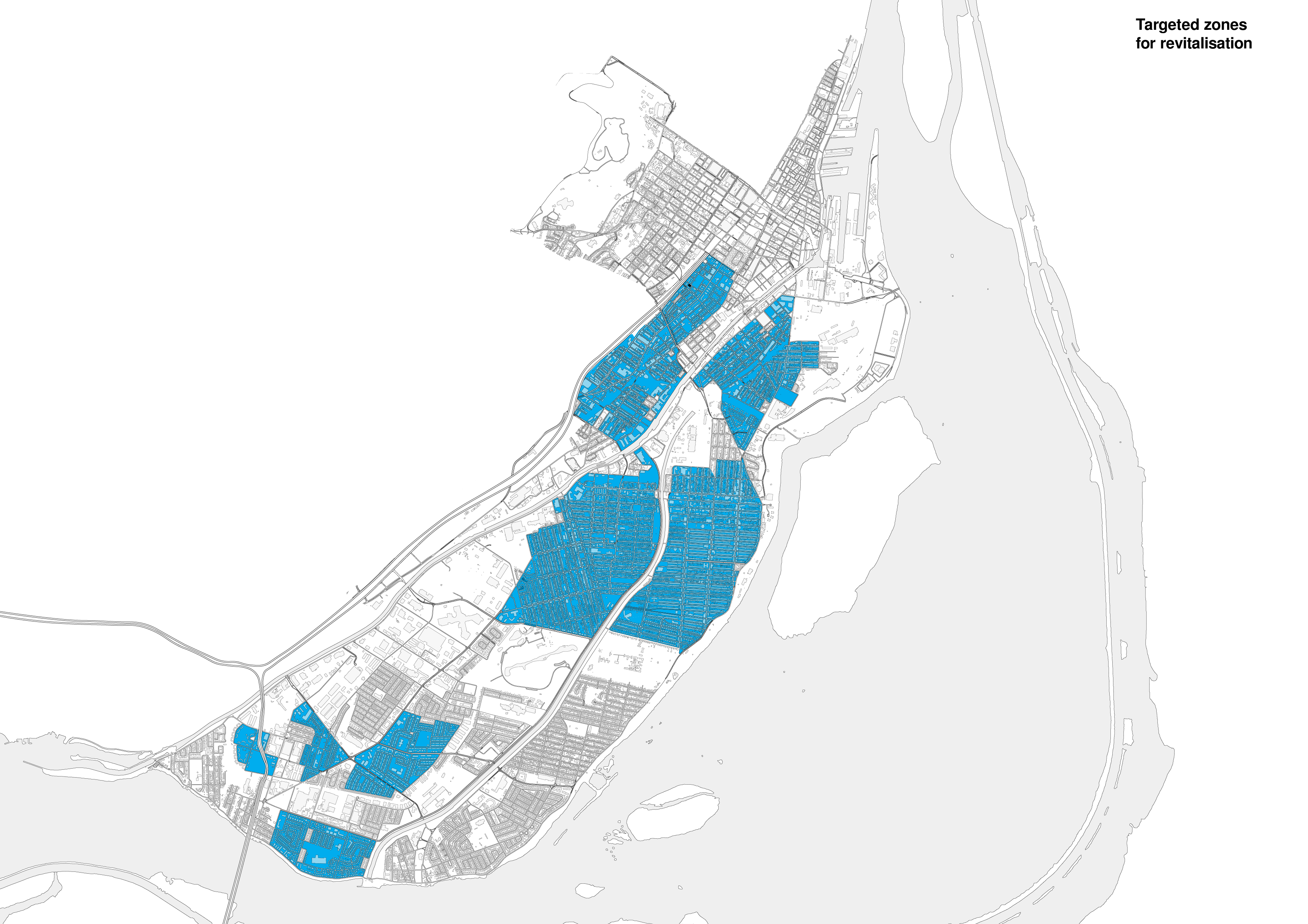
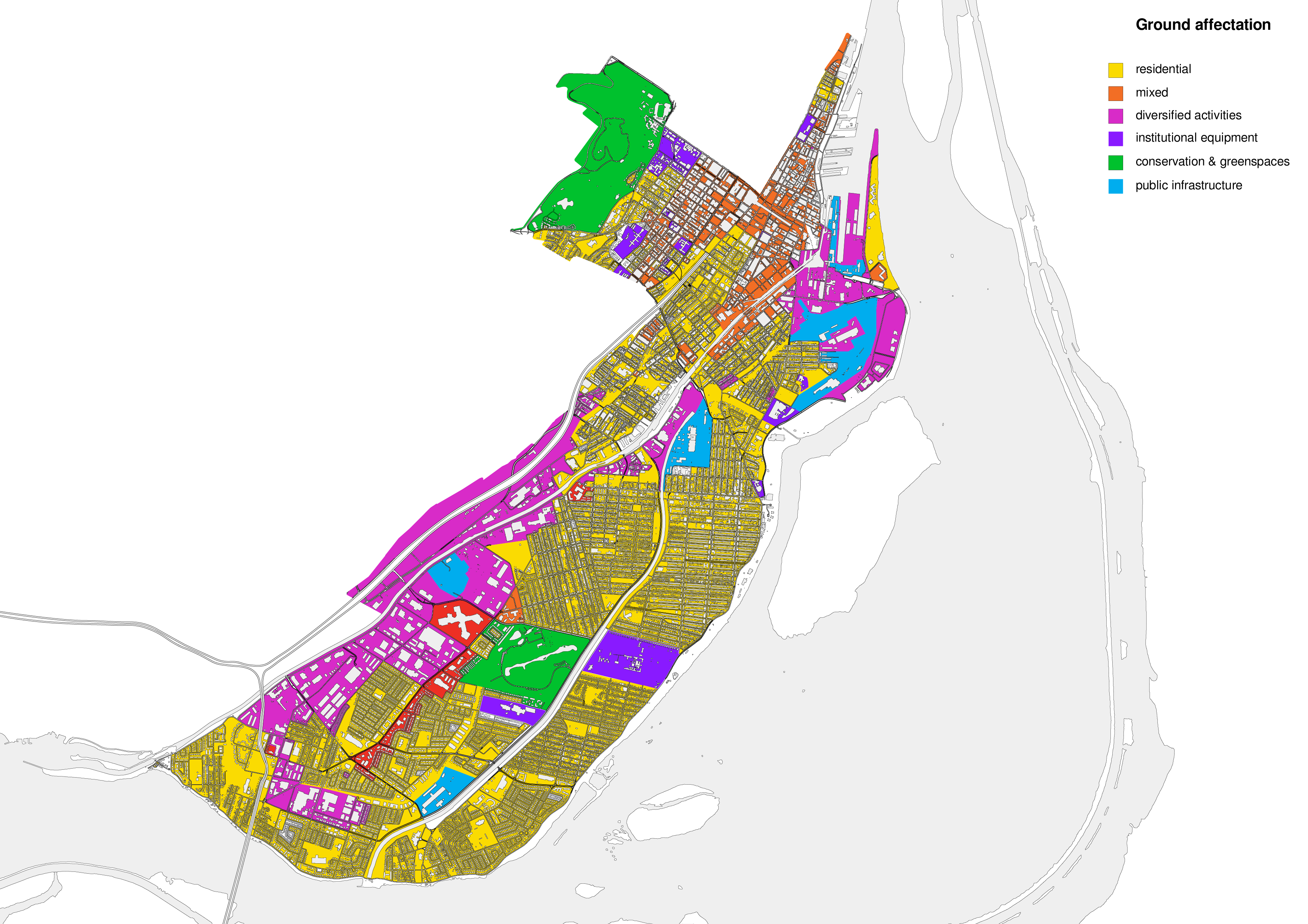
Ground affectation, targeted zones for renewal, network of institutions & transportation networks
During the 40s and
50s, pay was quite good and allowed those who made it out of the working class to question their reasons for living in the neighbourhood. At the time, 40 percent
of the housing was cold flats, which explains why one would want to move towards amenities. Many moved west to LaSalle, Saint-Henri, and to
the suburbs to obtain new standards of living. The workshop activity highlighted
that many kids frequenting Youth in Motion live outside of Little Burgundy,
in these neighbourhoods.
The noticeable fraction between the South-West and Montreal, enabled by the highway, frames the better part of these targeted neighbourhoods. As shown by the transportation network map, most of the area is not served by a metro station and public transportation is drastically limited.
The transportation and public institution network maps demonstrate the limited services offered to the west part of the Island. Residents often need a car to commute and access services, where as the east part of the map demonstrates denser clusters of amenities closer to downtown.